You are here
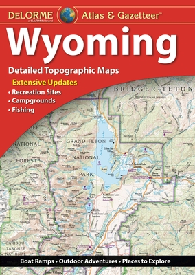
Back to topDelorme Atlas & Gazetteer: Wyoming (Paperback)
(This book cannot be returned.)
Description
With an incredible wealth of detail, DeLorme's Atlas & Gazetteer is the perfect companion for exploring the Wyoming outdoors. Extensively indexed, full-color topographic maps provide information on everything from cities and towns to historic sites, scenic drives, trailheads, boat ramps and even prime fishing spots.
With a total of 60 map pages, the Atlas & Gazetteer is your most comprehensive navigational guide to Wyoming's backcountry.
Full-color topographic maps provide information on everything from cities and towns to historic sites, scenic drives, recreation areas, trailheads, boat ramps and prime fishing spots.
Extensively indexed.
Handy latitude/longitude overlay grid for each map allows you to navigate with GPS.
Inset maps provided for Yellowstone National Park, major cities as well as all state lands.
Product Details: Wyoming State
Dimensions: 15.5" x 11".
AVAILABLE FOR ALL 50 STATES.
Welcome to Next Page!


Click below to read our Newsletter!
Check out our Author Resource page at the link below
Our Pre-Orders are here! Check out what we have in store!